Why Streets Meet at Odd Angles
Why streets meet at odd angles can reveal how routes, plot edges, and later building schemes shaped a place—and how to weigh those clues without overclaiming.
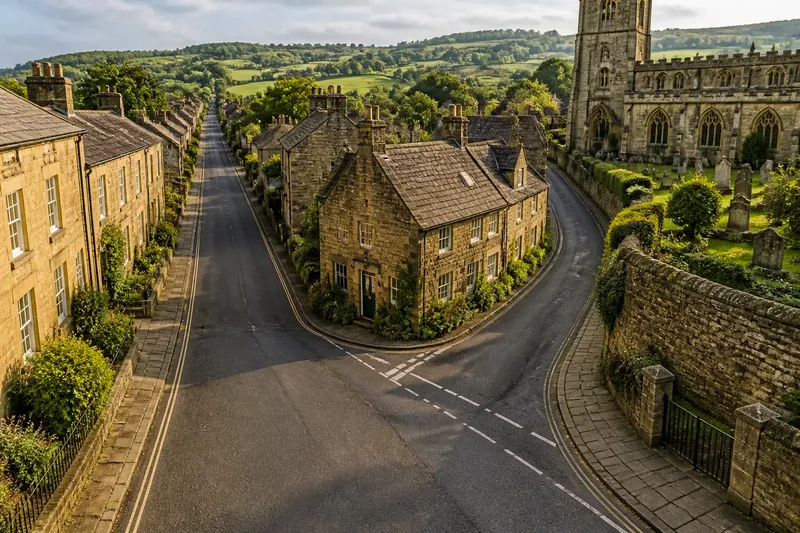
The common mistake when explaining why streets meet at odd angles is to call the junction an old road and stop there. That shortcut can send you searching for a vanished route while overlooking the boundary or building scheme that may have shaped the corner.
An angled junction is better read as a record of how neighboring pieces of a place fitted together. Its shape may have persisted through later changes, but the reason for it is not written in the angle alone.
What does the junction’s shape actually show?
Begin with a simple distinction: a junction’s geometry is what you can see, while its history is an explanation you infer. Notice which street runs through, which one ends or bends, and whether the angle continues into nearby walls, plots, or building fronts.
Then follow each arm away from the corner. A street that continues toward a bridge, a ridge, or an older settlement may have served a different purpose from a short connector that ends at the junction.
Keep the description separate from the explanation: “the lane continues past the corner” is an observation; “the lane is ancient” needs supporting evidence.
Could a route have kept its old line?
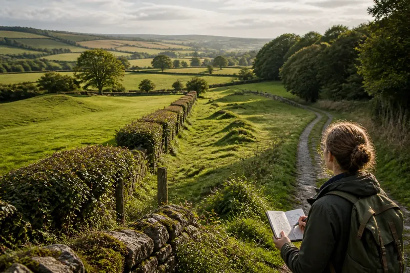
A route can persist even after the streets around it have been reorganized. A path that follows a ridge, climbs steadily, or skirts a stream valley may reflect the practical shape of the land rather than a later, regular street layout.
Check whether the apparent continuation leads somewhere meaningful, such as a crossing or a settlement edge. A name like “Lane” or “Gate” may suggest a question to investigate, but street names can change and do not establish a route’s age.
This explanation fits best when one arm has a clear continuation beyond the junction. If every street ends or changes direction there, the angle alone offers little reason to favor an older route.
Could a property line have set the angle?
Streets sometimes follow the edges of fields, estates, churchyards, railway land, or other large plots. A road laid alongside a long parcel can meet another street obliquely because the land division came first.
Look for the same line in more than one feature: a rear wall, an alley, a fence, a green-space edge, or a change in building alignment. Historic maps can help compare plot edges with streets, but a matching line does not by itself reveal what the boundary was or when it mattered.
Where the junction borders a large enclosed site, boundary inheritance is a useful possibility to check. Treat one matching wall as a clue, not a verdict.
How can separate building phases create a seam?
Development often arrives in pieces. A new group of houses may be fitted beside an existing lane, with the connecting street following the usable edge of a plot rather than meeting the lane at a tidy angle.
Imagine a hypothetical village edge where a lane already runs beside a field. A builder lays out a short row of houses along the field boundary and connects it to the lane; the row faces the new street, while the lane keeps its earlier line. The expected result is an angled junction and a wedge-shaped block, even without a much older road.
Rows facing different directions or irregular blocks can suggest separate layouts, but they cannot date those layouts on their own. Later widening, demolition, or realignment may also have altered the join.
How should you compare maps and street-level clues?
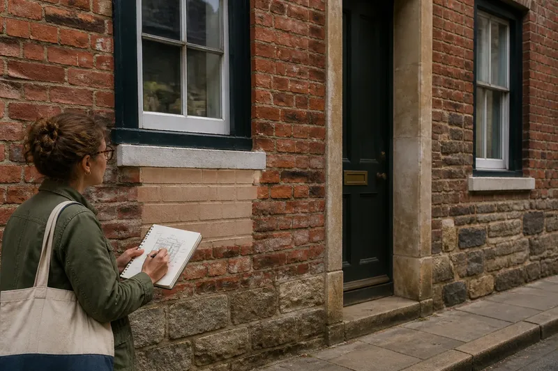
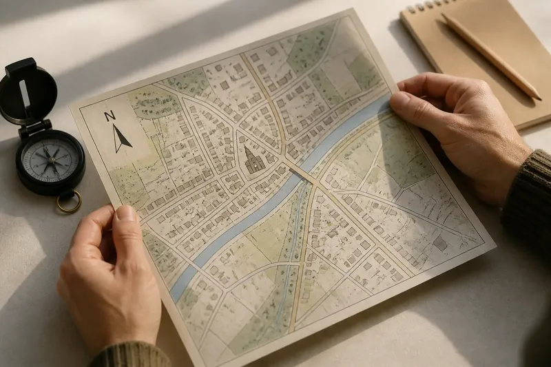
Use a current map to describe the junction, then compare historic maps to see whether its shape or nearby boundaries changed. On a walk, note slopes, walls, entrances, and building fronts that a flat map may not make clear.
- Check the junction on an older map: if the angle is already present, treat it as an established feature by that survey date; if it is absent, look for later roads or redevelopment that could account for its appearance.
- Follow the longest street arm: if it continues toward a crossing, ridge, or settlement edge, investigate a route explanation; if it stops without a clear continuation, give that explanation less weight.
- Compare plot edges with the street: if walls, alleys, or open-space borders repeat the angle, investigate a boundary; if they do not, look for other evidence rather than forcing a match.
- Notice changes in level: if the street climbs or bends around a steep bank, consider whether the landform shaped its course; if the ground is relatively even, terrain is a weaker explanation for that particular bend.
- Compare building fronts: if two rows face different directions, consider separate development phases; if their alignments are consistent, a single planned layout may fit better.
- Check what changed nearby: if a map shows a new road, cleared site, or altered boundary, consider whether that change reshaped the junction; if the maps show no such change, keep the cause open.
Maps are dated records, not explanations of intention. Their scale and survey detail can omit small paths or blur boundaries, so use them to narrow the questions rather than settle the cause.
What should you ask about an angled street junction?
Does an angled junction prove a road is old?
No. A boundary, staged building, or later street alteration can produce a similar shape. Look for a continuing route and independent clues before suggesting an older road.
Can a historic map explain why the angle exists?
A map can show whether the junction or a nearby boundary existed by the time of that survey. It rarely explains why it was made, so compare different dates with features visible on the ground.
Why might a street bend beside a churchyard or estate?
The street may follow the edge of land that was not available for building, or later development may have been fitted around that edge. Check whether the same line appears in walls, plot divisions, or older map detail.
What if route and boundary clues both fit?
They may describe different stages: a route could have followed a land boundary before later building altered the junction. State what each explanation accounts for and leave the sequence uncertain if the evidence cannot distinguish it.
How can you choose between competing explanations?
Prefer the explanation that accounts for several independent details without relying on an unsupported story. A continuous street line and a matching route across the land strengthen the route idea; repeated plot edges strengthen the boundary idea; contrasting building alignments may support separate phases of growth.
If the clues point in different directions, say so plainly. For why streets meet at odd angles, a careful account of what the junction connects—and what remains uncertain—tells a reader more than a confident label.