A Slow Look at an Old Town Plan
A slow look at an old town plan helps you separate visible marks from assumptions and leave with sharper questions to check against other local records.
The most common mistake with an old town plan is to read every mark as a literal feature: a thick line becomes a wall, a blank patch becomes unused land, and a curved street becomes an ancient route. A slow look at an old town plan can instead reveal how the map was made, what it was meant to record, and where its evidence runs out. Treating the sheet as a designed document—not a transparent view of the past—changes what you notice.
Begin with the plan’s purpose and physical form. A property survey, an estate plan, and a town map may depict the same place differently because their makers had different questions to answer. The title, date, scale, legend, labels, and marginal notes can tell you more about those choices than a dramatic-looking line.
What kind of document is an old town plan?
A town plan is a selective representation, not a complete record of every building, road, and boundary. Its symbols and omissions reflect the surveyor’s task, the intended reader, and the methods available at the time. A plan made to show property holdings, for instance, may give parcel edges more attention than street names.
Before interpreting the town itself, read the sheet as an object. Note its title, any named surveyor or owner, the stated date, the scale bar, compass direction, legend, and notes around the edges. If a detail is missing, record the gap rather than filling it with a guess.
Also check whether you are viewing an original, a later copy, or a scan. Cropping can remove a title or key; faded ink may make two symbols look alike; and a photograph taken at an angle can distort the plan’s proportions. Keep the source image unchanged and make notes on a separate sheet or digital copy.
How can the plan’s purpose change what you see?
Ask what the maker needed the plan to do. A plan focused on ownership may emphasize holdings and boundaries, while a route plan may give greater prominence to roads and crossings. These are clues to the document’s intended use, not proof that other features were absent from the town.
Look for evidence in the wording and layout. A named estate, references to landholders, or a schedule keyed to numbered parcels may point toward an administrative purpose. A title alone may not settle the matter, so keep the proposed purpose tentative when the sheet offers little explanation.
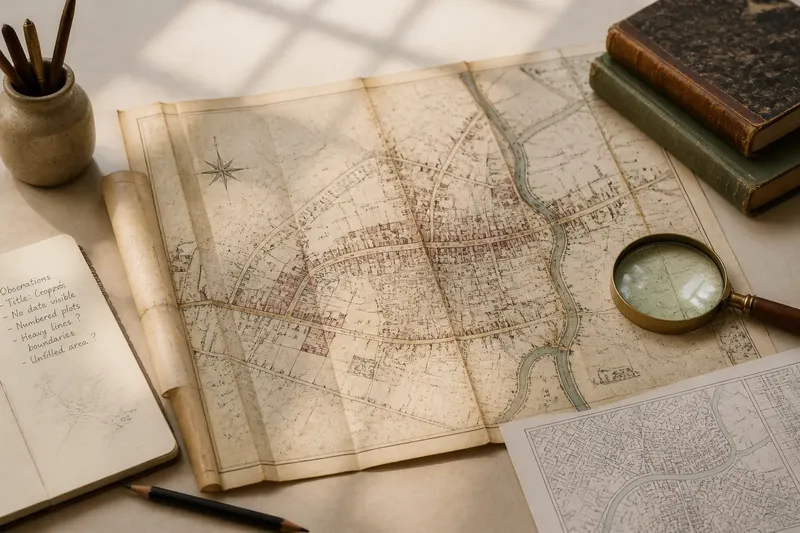
Imagine you have a plan titled with the name of a local estate, numbered plots, and a small table listing owners, but no legend for the heavy lines. You note that the numbers match the table and that several heavy lines separate groups of plots; you then check a catalogue description and a later estate plan. If those sources identify the lines as ownership divisions, that interpretation gains support; if they do not, your record remains “heavy lines separating numbered plots,” not “walls.”
What do symbols and omissions actually tell you?
A symbol’s meaning depends on the plan’s conventions. A dashed line, colored wash, hatching, or blank area may have a specific meaning explained in a key—or may be difficult to interpret without one. Describe the mark’s appearance and position before assigning it a name.
Omission is particularly easy to misread. An unfilled area might represent open ground, land outside the survey’s purpose, a feature omitted for clarity, or damage to the surviving copy. The safe description is “unfilled area”; a more specific account needs support from another clue.
Line weight can also be a drafting choice rather than a measure of physical importance. If one road looks thicker than another, check the legend and compare how the same line style is used elsewhere before concluding that it was wider or busier.
How should you compare an old plan with other records?
Comparison works best when each source is allowed to answer the question it can support. A later town plan may show whether a street alignment persisted, while a parish map, land record, archive catalogue, or building record may clarify a label or ownership reference. A current map can help orient you, but it cannot by itself explain why an old feature appears as it does.
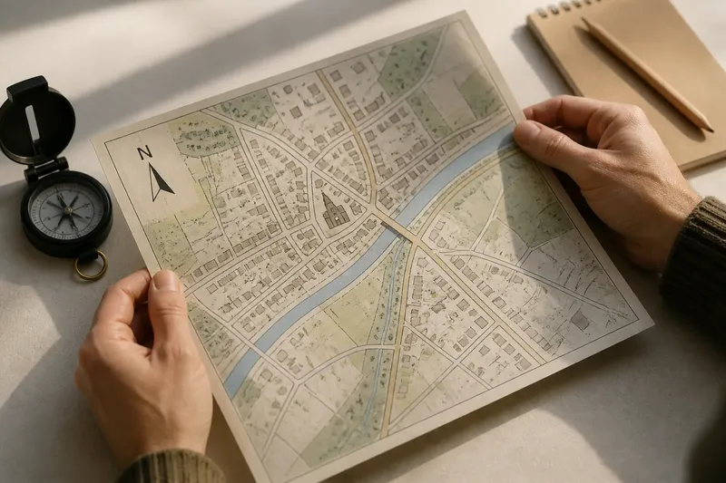
First check whether the sources cover the same area and whether their orientation and scale differ. Then choose a feature that can be identified on both sheets, such as a church, bridge, or street junction. If the old plan lacks a scale or has been distorted in reproduction, avoid treating apparent distances as exact.
Keep the comparison focused: note what appears on both sources, what differs, and what remains unclear. A matching street name may help locate a route, but a changed name or missing line does not, on its own, explain when or why the change occurred.
Which questions help you read an old town plan?
How can I tell whether a line marks a wall or a property boundary?
Start with the legend, labels, and any schedule linked to the plan; those may identify the line directly. If they do not, describe its shape and position, then look for a second record before naming it as a wall.
Does a blank space mean the ground was empty?
No. Blankness records what the drawing shows, not necessarily what stood or grew there; the maker may have omitted details or left the area outside the survey’s purpose.
Can a current map help locate an old street?
Yes, if you compare identifiable features and account for changes in orientation, scale, and street names. Use the match to locate a question, not to assume that the route has stayed unchanged.
What should I do if the plan has no date or legend?
Record that limitation and avoid dating or decoding marks from appearance alone. Search for a catalogue description or another copy, and keep any interpretation provisional until a source supports it.
What should you record for a useful follow-up?
A short record is more helpful than a page of impressions. For each clue, note what is visible, what you think it might mean, and what evidence could check that idea. Make the distinction explicit so that a later reader can see where observation ends and interpretation begins.
- Title or heading: Check whether one is visible; if it names a place or purpose, record the wording, but if it is missing or cropped, note that the plan’s subject is uncertain.
- Date: Check for a written date on the sheet; if one appears, copy it with its wording, but if none appears, leave the date unresolved rather than estimating from style.
- Legend and symbols: Check whether the key explains a mark; if it does, record the symbol and definition, but if it does not, describe the mark without assigning a meaning.
- Scale and orientation: Check for a scale bar and compass indication; if both are legible, use them when comparing locations, but if either is absent, avoid claims about exact direction or distance.
- Condition and reproduction: Check for fading, folds, cropping, or distortion; if a feature is obscured, mark it as unreadable, but if the source is clear, note which visible details support your observation.
- Related records: Check whether a catalogue entry, later plan, or linked schedule is available; if it addresses your question, compare the specific feature, but if it does not, keep the question open and record what source you still need.
With an old town plan, the most useful result may be a sharper question rather than a settled explanation. Record the visible evidence, the document’s limits, and the next source that could help; that way, a later comparison can add context without turning an uncertain line into a remembered fact.